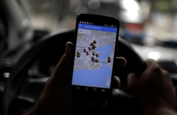
“Gun violence is on the rise in Rio de Janeiro, with the sound of firefights echoing daily across Brazil’s seaside city as drug gangs battle each other and police officers patrolling slums,” reuters.com reports. “Now a pair of applications track in real-time how many gun battles there are and where they occur, based on eyewitnesses, media and police accounts.” Specifically . . .
The “Fogo Cruzado,” or Cross Fire, application created by Amnesty International and local researcher aims to let Rio’s citizens know where gunfire is taking place, in the hopes of keeping them out of danger.
A second application is called Onde Tem Tiroteio – “Where are the Firefights” – with similar objectives.
Given Chicago’s daily gangland gun battles, and the collateral damage created by same, it’s only a matter of time before some enterprising entrepreneur replicates the concept stateside. Watch this space.


http://heyjackass.com/2017-deadliest-hoods/
Easy, just stick to the blue and orange neighborhoods
Why would Chiraq want to spot gunfights in Rio?
Honestly, sometimes you guys make no sense at all.
So they can point out that rio is one of the few cities in the world that might be on par with chiraqs gang problem?
Baltimore and St. Louis are worse than Chicago for gun violence. But the point to this article is that someone might create an app like this for different cities in the states.
Sooooooo, most gunfights in Rio de Janeiro last 5+ minutes? Because that is how long it is going to take to appear on a map.
Pro-tip: nearly all gunfights are over in a few seconds and the participants will be long gone before the location of their gunfight ever appears on any electronic database.
That was my first impression too: it doesn’t show where the gunfight is – it shows where it was.
On the other hand, it will tell you where the next traffic jam of ambulances and patrol cars is going to be…
Like Waze but for Gang Wars
That’s what I was thinking; Google (and Tom Tom and any other mapping services that route for traffic) could incorporate this info to route you around active crime scenes. Potentially they could also add the ability to route you around crime-prone areas as much as possible. All seems like good ideas, given the extremely sketchy nature of certain areas relative to the vast majority of the US.
ERROR: SYSTEM OVERLOAD!
It is probably easier and more effective to stay the heck away from the bad neighborhoods. Next bad idea please…
The San Francisco human poop spotter is much more useful.
http://mochimachine.org/wasteland/
Comments are closed.